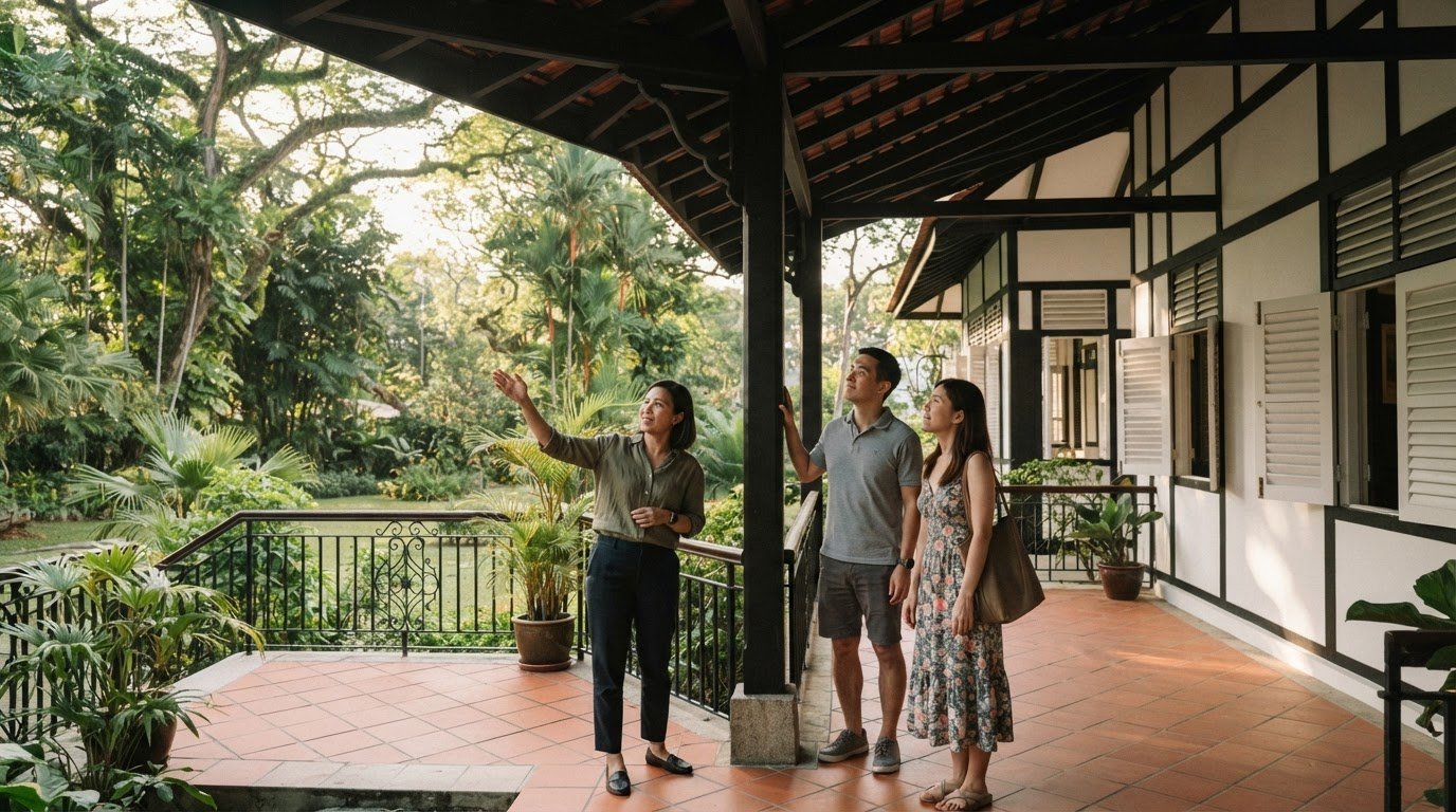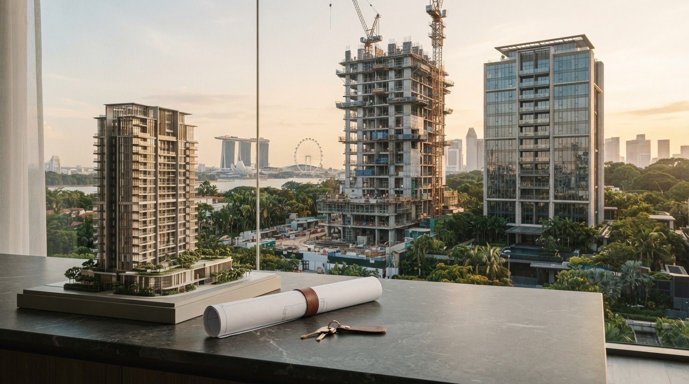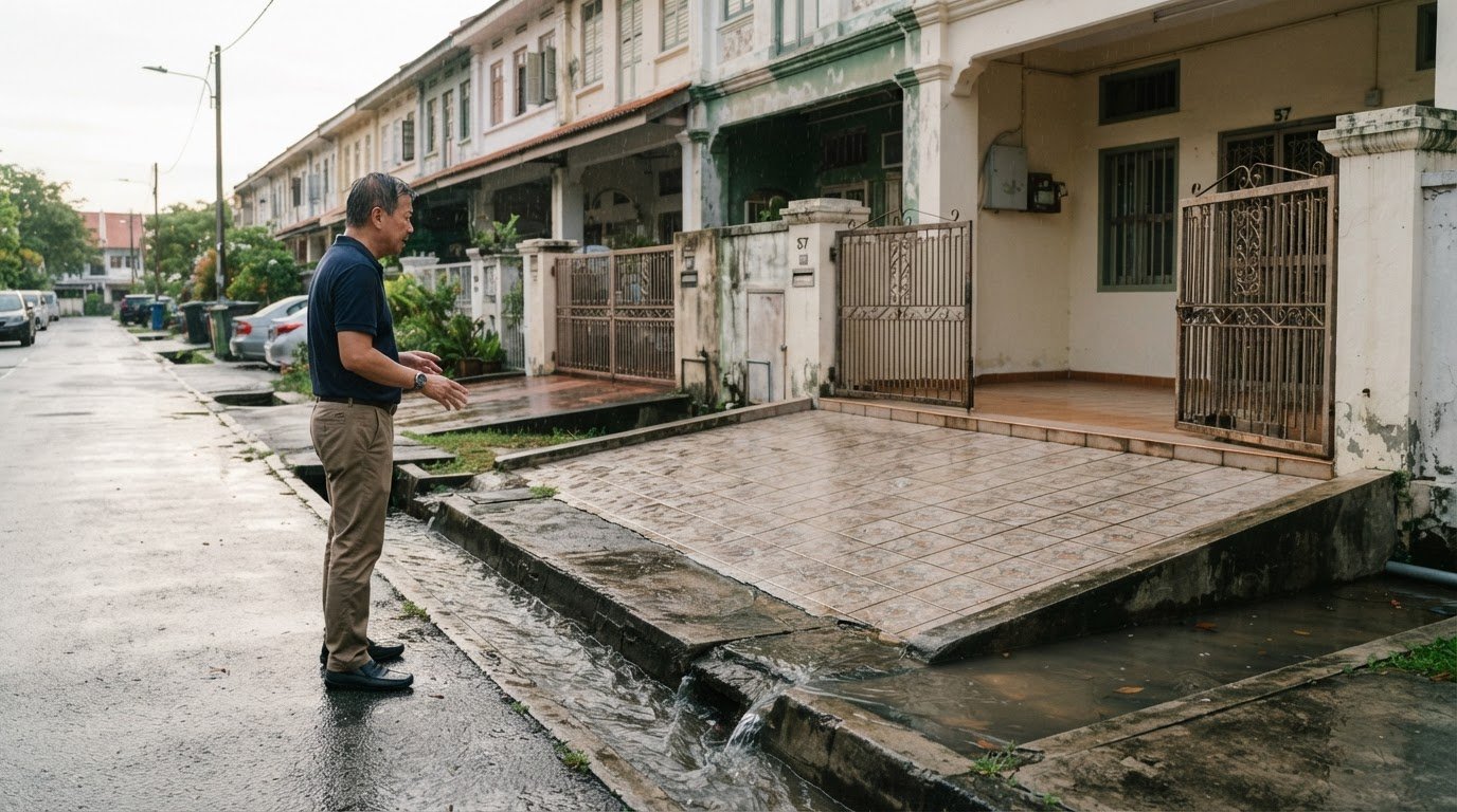
A flood risk assessment for landed properties should consider both the likelihood of flooding and how the home may be affected. A 100-year average recurrence interval (ARI) design provides protection against a flood event with a 1% annual probability of occurrence. Across a 100-year design life, there is an approximate 63% chance that an event equal to or exceeding that design flood will occur at least once. These odds describe probability, not a prediction of when a particular home will flood.
A hazard map is a useful starting point, but it cannot explain a property’s full exposure or vulnerability on its own. For a landed-home decision in Singapore, a flood risk assessment for landed properties is more useful when it considers probability, mapped hazards, site conditions and the building’s characteristics together.
This article explains how flood probability works, what hazard maps can and cannot show, and why a property’s specific vulnerability matters. It also compares local and broad real estate assessment frameworks, helping you understand how the method affects your view of risk and the decisions that follow.
Key Takeaways
- Read flood design standards as measures of protection, not guarantees; the design level and any added freeboard influence how a home may fare.
- Use hazard maps as a planning-level view, then consider how their scale and detail suit decisions about an individual property.
- Assess vulnerability at the property level, since a home’s features and adaptation measures can shape potential damage differently from area-wide estimates.
- Choose an assessment framework according to the decision: local methods can support higher accuracy, while global approaches offer broader coverage; property buyers can also draw on Vincent Lim’s landed-home sales expertise when evaluating a transaction.
Average recurrence interval (ARI) flood design
Under a 100-year average recurrence interval (ARI) design, the reference flood has a 1% annual probability. It does not mean flooding occurs once every 100 years. Across a 100-year design life, the chance of at least one event equal to or exceeding that design event is approximately 63%. Some flood mitigation structures are designed below the 100-year ARI, increasing the probability of system failure.
Design thresholds also affect a home’s exposure. Zoning in flood-risk areas can require new buildings to place their ground floors above the base flood elevation. Freeboard adds height between the lowest floor and that elevation to account for changes in flood characteristics. For a landed home, compare floor levels with the relevant flood reference and consider where water could enter, such as doorways or low openings. A design level is a planning measure, not a promise that a property will avoid flooding.
In Singapore, approval requirements for flood barriers, drainage works or raising land depend on the proposed work and site. Include any changes to drainage paths or land levels in the design review, and establish the applicable approvals before construction instead of assuming none are needed.
Possible property-level measures include barriers at entry points, improved drainage, backflow controls and raising vulnerable equipment. Their suitability depends on how water reaches the house, site levels and the building layout. The project estimate will depend on the chosen measures, materials, access, site conditions and scope of work.
Home insurance cover in Singapore depends on the policy wording. Review whether flood damage is included, and note any exclusions, limits, excesses or claim conditions. Flood design does not establish earthquake resistance: a separate assessment considers the house’s structural system, materials, connections and ground conditions. These are distinct hazards, so a flood-focused review alone cannot determine a property’s earthquake susceptibility.
Flood hazard mapping and probability estimation
A hazard map shows where flooding may affect land, while probability estimates describe how often events may occur. For a Singapore home, interpret both alongside the site’s physical features and local history.
Accessing Public Hazard and Risk Maps
Public hazard and risk maps show mapped exposure for viewing, comparison and planning. Use an official map portal where available, search the property address, and inspect the legend, scale and mapped layers. A map designed for broad planning may not capture conditions at an individual house.
Disaster risk maps used for development control should match the scale of planning decisions and statutory plans. They should also present information that planning professionals, decision makers and the public can interpret. For a landed property, note whether the map shows a broad zone or site-level detail, as this affects how confidently it can inform a purchase decision.
Checking Local Natural-Hazard Risks
Local hazard checks consider nearby features that can influence water movement, not just the property’s shading on a map. Compare the home’s position with nearby waterways, low ground, drainage paths and surrounding land levels. In Singapore, these features help show how rainfall runoff could reach a plot or affect access.
Next, assess property features that affect resilience: entrance heights, the lowest occupied floor, ground slope, drainage direction and vulnerable equipment. A raised entrance may limit water entering from shallow surface flow, while a low garage opening may provide a route indoors. Use these observations to interpret mapped hazards, not as a substitute for probability information.
Reviewing Past Flooding at an Address
To assess past flooding at a specific Singapore address, compare the mapped hazard with site conditions and ask the seller or occupants about previous water entry and observed water levels. Record where water reached, which access points were affected, and whether nearby drains or roads flooded. These details help distinguish an area-wide hazard indication from the home’s own exposure.
Photographs, repair records and visible water marks can help clarify reported incidents. Compare each account with the property layout: a mark in a lower service area may indicate a different impact from water reaching living spaces. For a landed-home decision, consider the address history, map and observed features together for a more grounded picture than a single map layer can provide.
Object-specific vulnerability in flood risk analysis
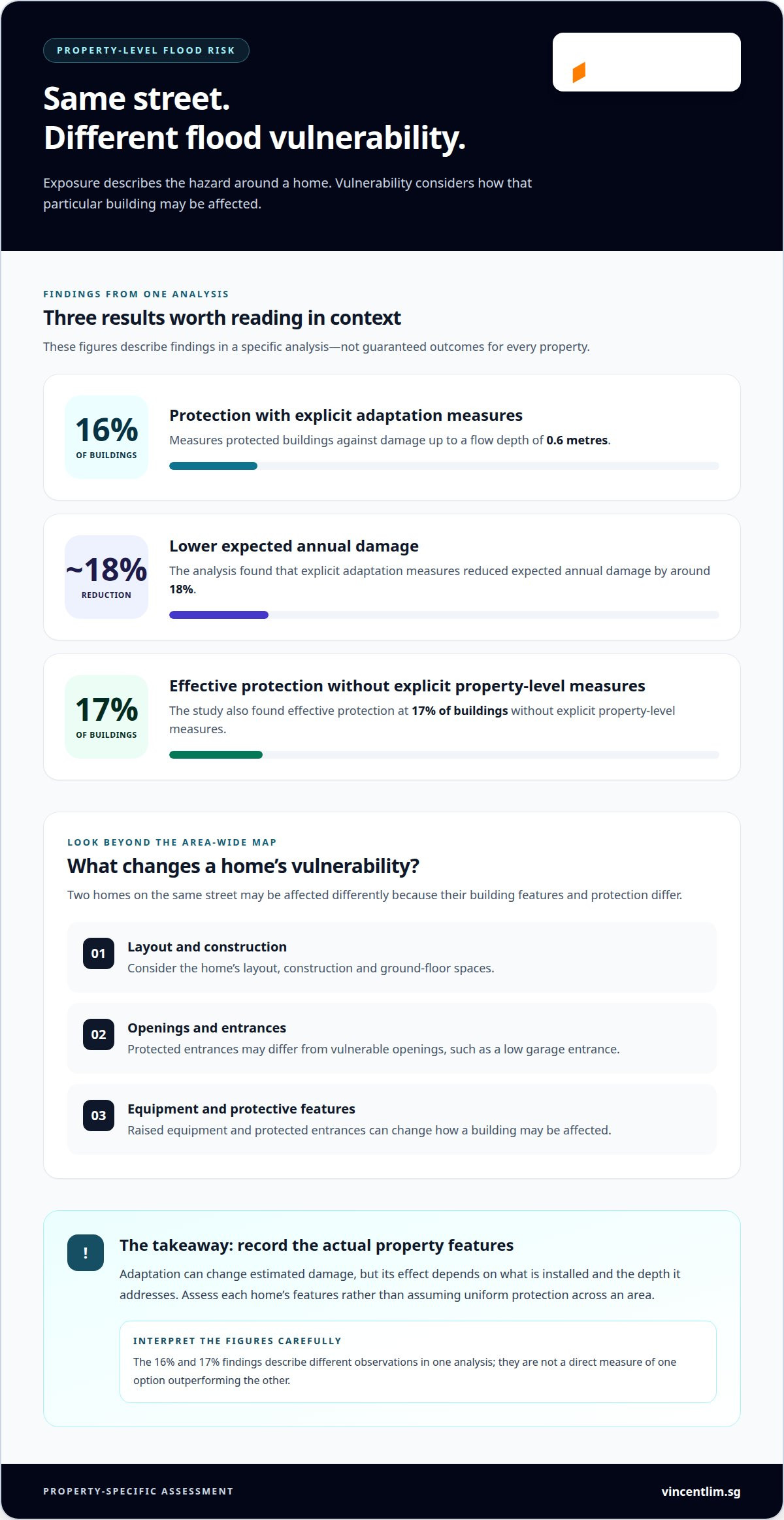
Flood exposure describes the hazard around a home; vulnerability describes how that particular building may be affected. An object-specific assessment considers the house’s layout, construction, openings and protective features, rather than assuming every property has the same level of risk. For example, two homes on the same street may differ if one has raised equipment and protected entrances while the other has vulnerable ground-floor spaces.
Property-level measures can alter estimated damage, but their effect depends on what is installed and the depth they address. In one analysis, explicit adaptation measures protected 16% of buildings against damage up to a flow depth of 0.6 metres and reduced expected annual damage by around 18%. The study also found effective protection at 17% of buildings without explicit property-level measures. These findings illustrate why assessment should record each home’s actual features, not assume uniform protection.
For property-value analysis, keep physical damage separate from wider economic modelling. One stated relationship links a 1% GDP loss with a 4% fall in property prices. That relationship is a model input, not a direct forecast for an individual Singapore home. A property-specific review instead considers likely water entry, affected rooms, repair implications and features that may influence marketability.
Inspect the roof, walls and chimney as separate building elements. Roof coverings, joints and drainage paths affect how rainfall enters or moves around the house. Wall cracks, low openings and unsealed junctions can provide routes for water. Review the chimney’s condition and connection to the surrounding structure separately; earthquake resistance requires structural evidence, not appearance alone.
In Singapore, the fee for a professional flood-risk or drainage assessment depends on the scope, site complexity, survey requirements and requested analysis. A quote is provided following a request. A useful brief identifies the property, the concerns, and whether the work requires a drainage review, vulnerability analysis or both.
Frameworks for assessing flood risk to real estate
A framework explains how an assessment combines flood hazards, property exposure and building vulnerability. The right approach depends on the decision and the quality of available information. A local framework is proposed for regions where high accuracy is needed, while a global framework offers broader coverage and general applicability. For a landed home in Singapore, the distinction matters: a broad method can compare locations consistently, while a local method can examine conditions more closely when detailed information is available.
Data availability and tolerance for uncertainty are key factors when choosing between methods. A detailed local assessment can use property-specific information to refine an estimate, but its value depends on the depth and reliability of those inputs. A global framework offers wider coverage when local data is limited, though its general approach may not capture every site feature. The question is not simply which method is more sophisticated, but whether the evidence suits the decision, such as comparing area exposure or assessing one house.
Planning also shapes how a framework is used. Zoning maps should identify disaster-risk areas, and hazard information should be considered when calculating permitted development density. For a prospective buyer, this connects property-level understanding with the surrounding area’s development context. The map’s scale should suit the planning decision, while the assessment should distinguish mapped risk from an individual home’s specific vulnerability.
A practical review can therefore ask three questions: what decision must the assessment support, what local information is available, and how much uncertainty can the decision tolerate? For example, comparing several properties may call for consistent broad coverage first, followed by closer analysis of the most relevant home. This layered approach helps avoid treating a general estimate as a property-specific conclusion. If flood considerations are informing a landed-home purchase, explore landed-home sales options as part of your decision.
Vincent Lim (OrangeTee & Tie): Terrace House Sales
Vincent Lim (OrangeTee & Tie) can support your next step when flood-risk considerations arise during a landed-home purchase or sale. Use assessment findings to frame property questions and weigh them alongside the home’s layout, condition and location. Vincent handles Terrace House Sales, Semi-Detached House Sales, Detached House Sales and Good Class Bungalow (GCB) Sales in Singapore.
If you’re preparing to sell or evaluating a landed-property transaction, this is a relevant time to seek real estate support. Keep the distinction clear: property risk analysis informs your decision, while the sale process concerns the home and transaction. Contact Vincent Lim (OrangeTee & Tie) or visit vincentlim.sg to discuss your landed-property plans.
Move from risk insight to a considered property decision
Make flood exposure part of a broader landed-home decision, alongside the property’s condition, suitability and transaction priorities. A flood risk assessment for landed properties can inform that discussion, but its value depends on how clearly the findings relate to the specific home and your plans for it.
If you’re considering a sale or purchase, Vincent Lim (OrangeTee & Tie) handles Terrace House Sales, Semi-Detached House Sales and Detached House Sales. He can support the real estate transaction as you consider how property-specific findings fit your plans, without treating the assessment itself as a substitute for sale advice.
Set out the property type and your intended next step, then contact Vincent Lim about your landed-property plans. A clear decision can begin with a well-framed conversation.
Frequently Asked Questions
Which Singapore agencies provide flood maps or flood-prone area information?
PUB, Singapore’s National Water Agency, is the primary public source for information about flood-prone areas. Its resources offer an area-level starting point, not address-specific evidence. A flood risk assessment for landed properties can pair that information with the exact plot location and records of water entry, helping buyers distinguish a mapped concern from previous flooding at the house itself.
What site and property features increase flood risk for landed homes in Singapore?
Low plots and nearby waterways can increase site exposure, while openings in boundary walls, sunken courts and low door thresholds may create routes into the home. In a flood risk assessment for landed properties, check where surface water could collect and whether floor drains or entrance channels are obstructed. These details can reveal pathways that a broad area map may not show.